
Tell someone
A text goes through with a single bar of signal.
Message preview
Bsidemap doesn't store anything: the message goes from your phone.
Send my location
A text goes through with a single bar of signal, even without data.
My coordinates (to read to 911)
Your location isn't sent to Bsidemap: it only goes into your message.
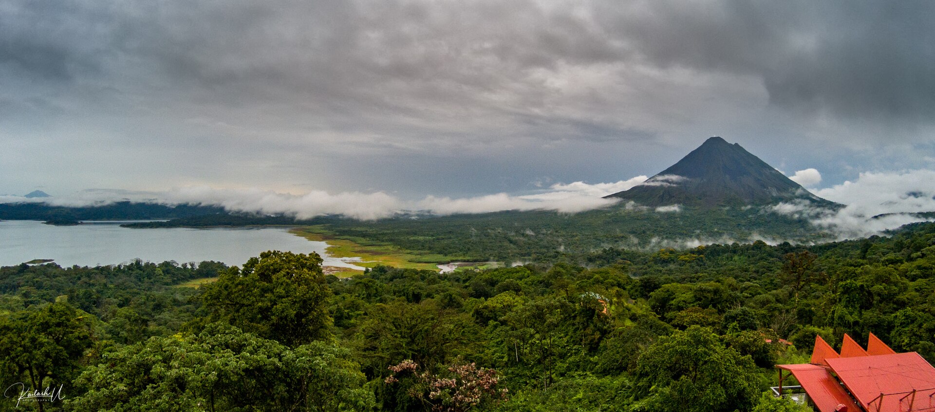
A landmark of the La Fortuna (Arenal) area, Volcán Arenal draws hikers and photographers who come to admire its spectacular scenery.
Before you go, check the volcano's activity level and closed areas with local authorities. Start early, as clouds and rain often roll in during the afternoon, and bring a warm layer and plenty of water. Stay on authorized trails and download the offline map.
The dry season, from December to April, is the most pleasant. From May to November, rain makes rivers rise fast and trails slippery.
Location and name © OpenStreetMap contributors. Advice by L'Œil du voyageur sûr.
Photos

Near Volcán Arenal
Distances as the crow flies. Each page gives directions, the map and the nearest hospital.
-
 Cerro Chato
View · La Fortuna (Arenal)
2,7 km
-
 Termales gratuitas Río Tabacón
Beach activities · La Fortuna (Arenal)
3,7 km
-
Termales del Arenal
Beach activities · La Fortuna (Arenal)
3,8 km
-
Ecotermales
Beach activities · La Fortuna (Arenal)
3,9 km
-
 Reserva Forestal Zona de Emergencia Volcán Arenal
Nature Park · La Fortuna (Arenal)
4 km
- GPS coordinates
- 10.46209, -84.70341
- 10° 27′ 44″ N, 84° 42′ 12″ W
- Municipality and region
- La Fortuna (Arenal)