

Tell someone
A text goes through with a single bar of signal.
Message preview
Bsidemap doesn't store anything: the message goes from your phone.
Send my location
A text goes through with a single bar of signal, even without data.
My coordinates (to read to 911)
Your location isn't sent to Bsidemap: it only goes into your message.
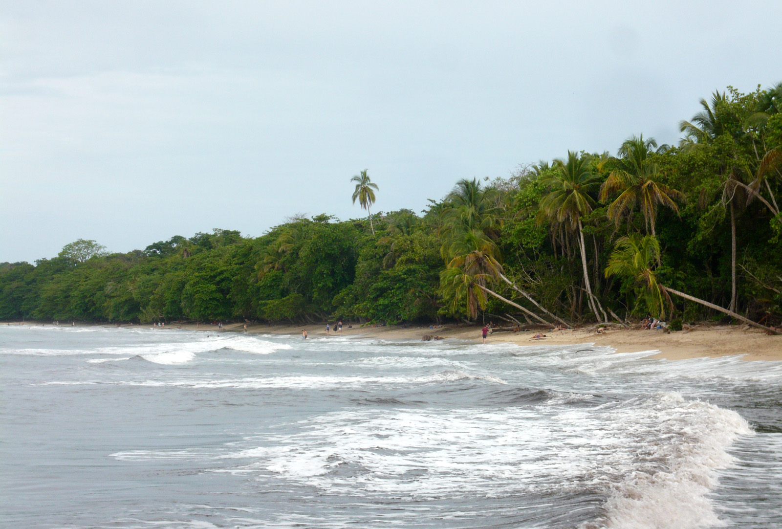
For nature lovers, Parque Nacional Cahuita is a spot to discover in the Puerto Viejo area. Keep your eyes open, wildlife is often around!
Since it is a protected area, check which areas are open and the rules before you go. Stay on the trails, bring water and download the offline map, as there is often no cell coverage. Keep your distance from wildlife and leave no trash behind.
The Caribbean coast does not follow the rest of Costa Rica's seasons. September and October are the driest months, while rain is heaviest from November to January. February to April is also a good time.
Location and name © OpenStreetMap contributors. Advice by L'Œil du voyageur sûr.
Photos

Near Parque Nacional Cahuita
Distances as the crow flies. Each page gives directions, the map and the nearest hospital.
-
 Playa Cahuita
Beach activities · Puerto Viejo
1,9 km
-
Playa Negra
Beach activities · Puerto Viejo
3,9 km
-
Playa Grande
Beach activities · Puerto Viejo
5,9 km
-
Playa Negra
Beach activities · Puerto Viejo
11 km
-
 Cascada Bribri
View · Puerto Viejo
12 km
- GPS coordinates
- 9.73647, -82.81659
- 9° 44′ 11″ N, 82° 49′ 0″ W
- Municipality and region
- Puerto Viejo