 View
 Dogs allowed
 Parking
 Rest area / picnic area
 Road motorcycle
Chaudière-Appalaches, Québec
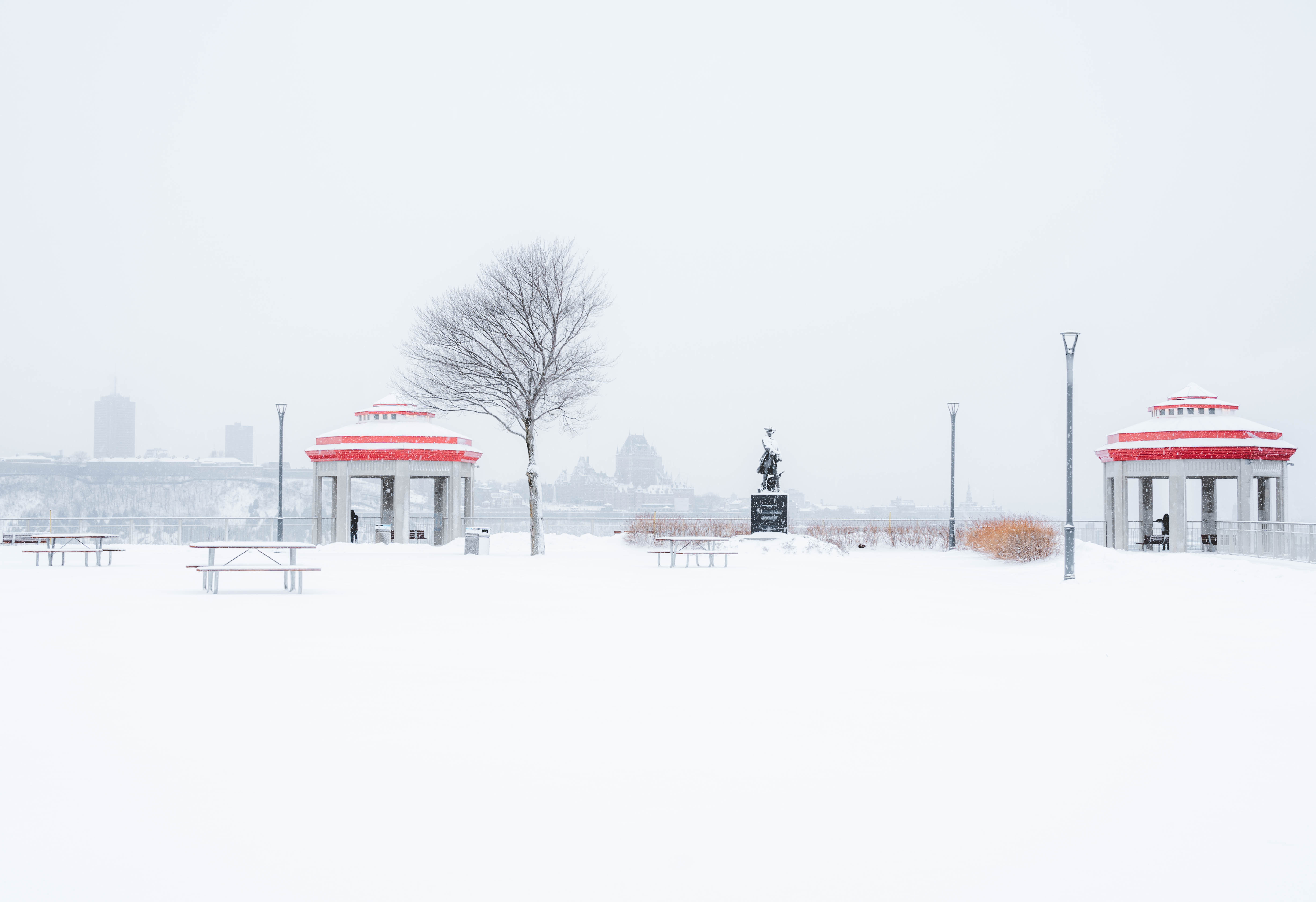
Terrasse du Chevalier-de-Lévis
5 rue William-Tremblay, Lévis, Québec, G6V 4B3
Tell someone
A text goes through with a single bar of signal.
Message preview
Bsidemap doesn't store anything: the message goes from your phone.
Send my location
A text goes through with a single bar of signal, even without data.
My coordinates (to read to 911)
Your location isn't sent to Bsidemap: it only goes into your message.
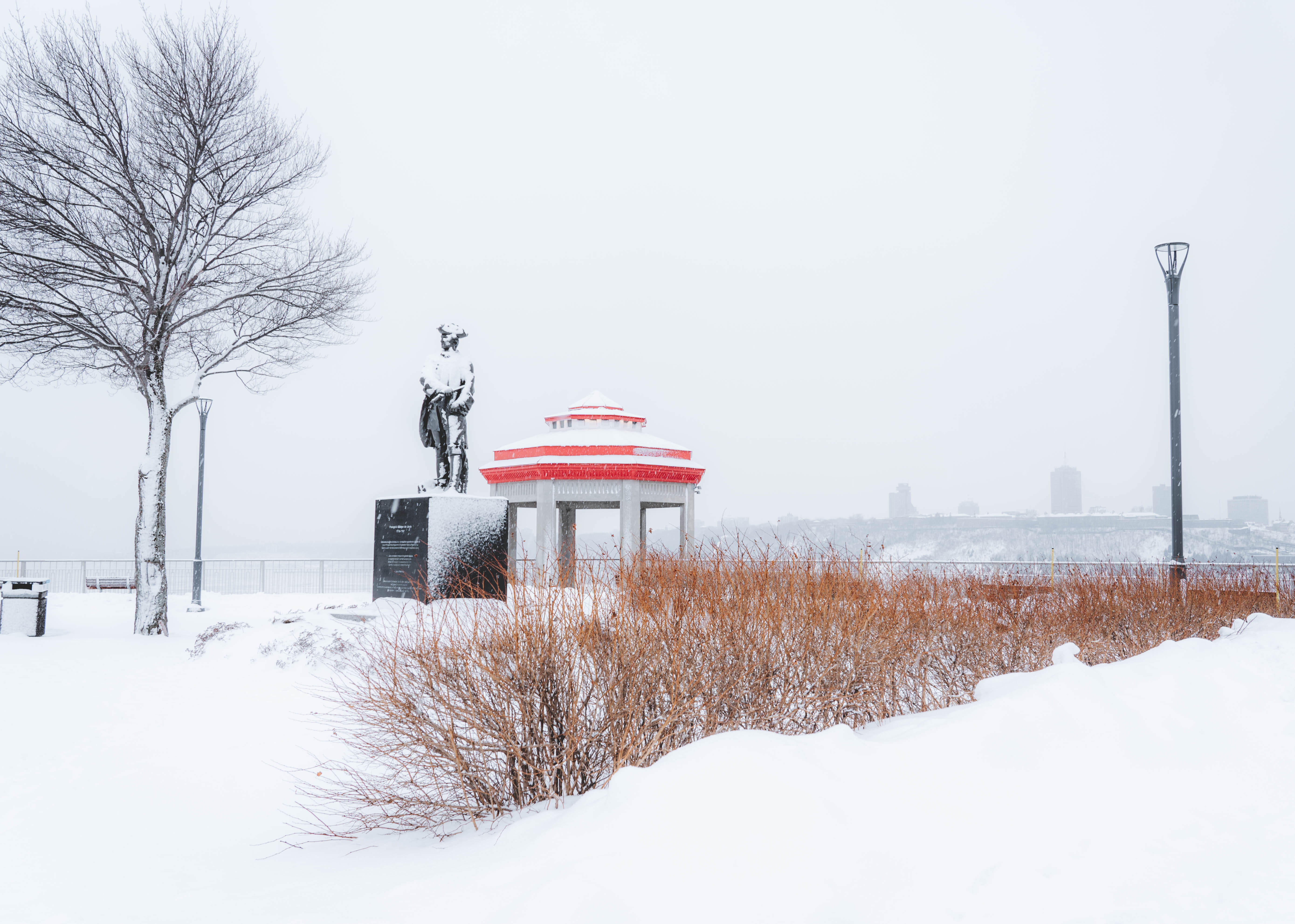
The Chevalier-de-Lévis terrace offers you a splendid view of Quebec City. You will be able to observe the ramparts of the city, the famous Château Frontenac, the Île d'Orléans, the bridges and the boats sailing on the Saint-Laurent river.
The best time to visit this park is at the end of the day, at sunset. Nearby, you will find several restaurants, art galleries and boutiques.
Quebec - Lévis ferry
An original way to get there is to take the ferry which is located near the Petit-Champlain district, in Old Quebec. This ferry will transport you to the other side, to Lévis, and from there you can reach the Chevalier-de-Lévis terrace in a few steps. A cost is to be expected for the crossing.
Good to know before you go
Stay behind the railings and away from the edge, especially when taking photos. The ground can be slippery after rain or early in the morning, so wear good shoes and hold children by the hand.
Fall colours, from late September to mid-October, often offer the best views. In winter, check whether the access is maintained.
Near Terrasse du Chevalier-de-Lévis
Distances as the crow flies. Each page gives directions, the map and the nearest hospital.
-
 Quai Paquet de Lévis
Nature Park · Lévis
0.6 km
-
Place des Canotiers
View · Québec
1.5 km
-
 Toilette Place Royale
Washrooms · Québec
1.5 km
-
Terrasse Dufferin
View · Québec
1.5 km
-
Toilette Kiosque des Gouverneurs
Washrooms · Québec
1.7 km
- GPS coordinates
- 46.80624, -71.18598
- 46° 48′ 22″ N, 71° 11′ 10″ W
- Municipality and region
- Lévis
- Chaudière-Appalaches, Québec